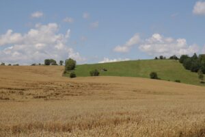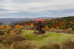


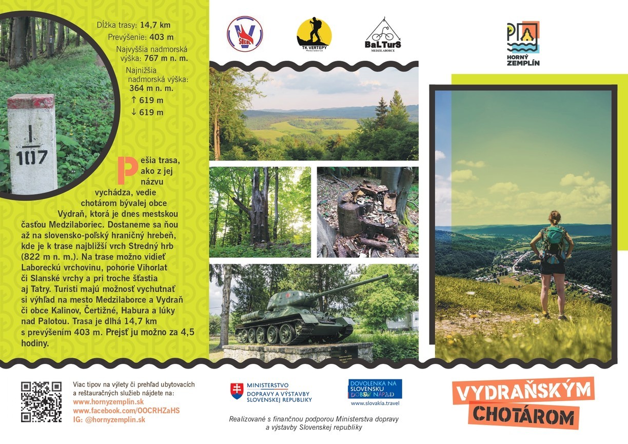
The walking route, as its name implies, leads through the former village of Vydraň, which is now a part of the town of Medzilaborce. It will take you to the Slovak-Polish border ridge, where the closest hill to the route is Stredný hrb (822 m above sea level).
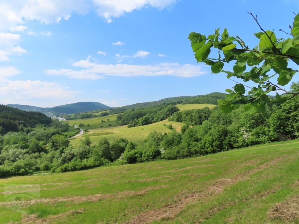
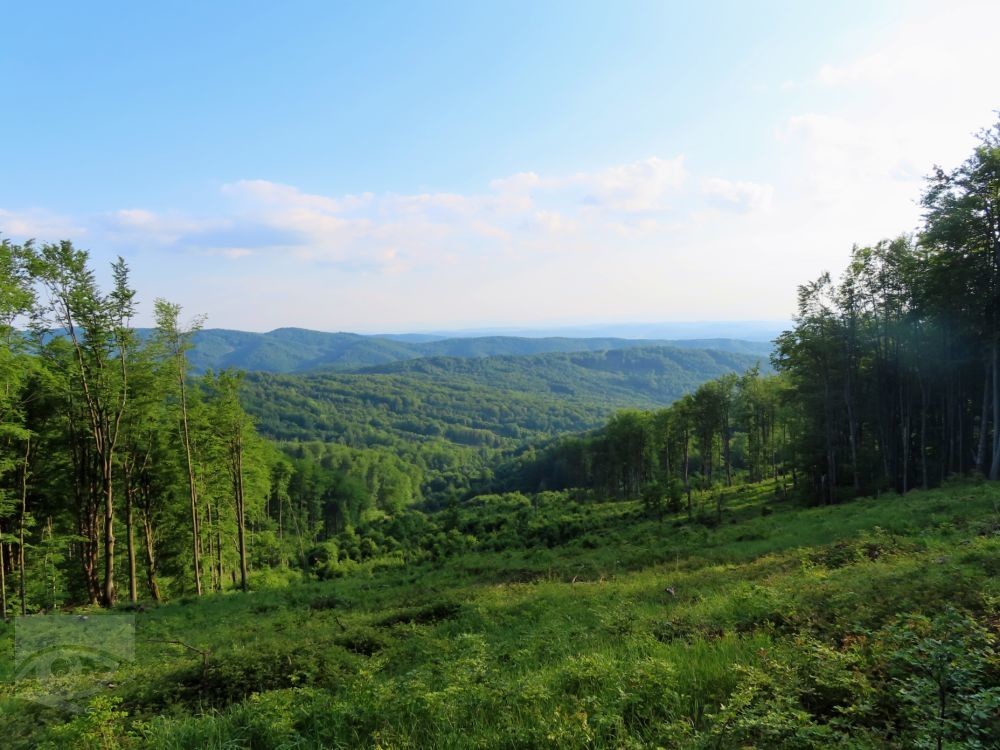
On the route you can see the Laborecka Highlands, the Vihorlat Mountains, the Slanské vrchy Mountains and, with a bit of luck, the Tatra Mountains. Tourists can enjoy the view of the town of Medzilaborce and Vydraň or the villages of Kalinov, Čertižné, Habura and meadows above Palota.
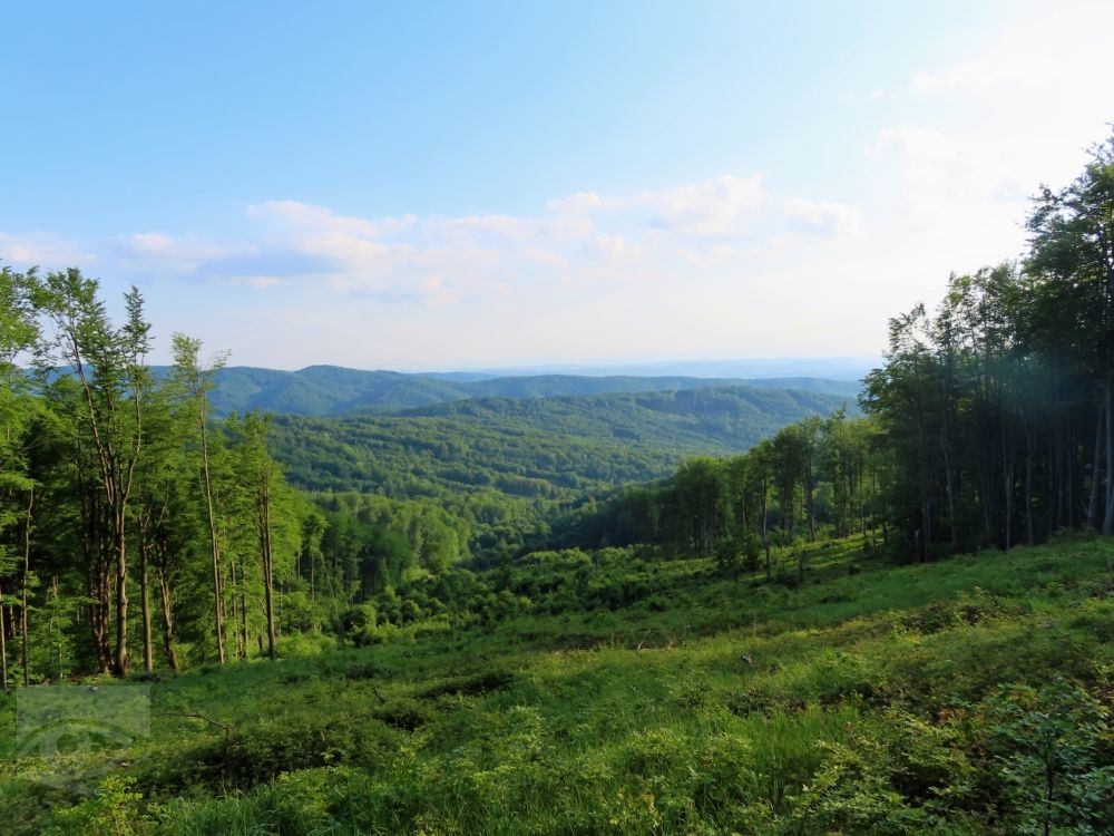
The route is 14.7 km long with an elevation of 403 m.
It can be passed in 4.5 hours.
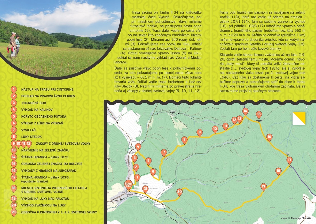
The route starts at the T-34 tank at the crossroads of the Vydraň district. Continue alongside the local pub, passing the football pitch on the left, onto the access road alongside the cemetery (1). The route continues along the road to the left, heading north along a yellow waymarked footpath through meadows beside woodland (2). Pass a summer oak of about 150 years old (3). Continue across the brook to a meadow, from where you will reach the Danová - Kalinov crossroads (4). From here we head right through the forest (5) to a meadow, from where we have a view over Vydraň and Medzilaborce. Further on we go left along the forest to the hunting seat, after it we continue along the forest road to the left up to the transmitter - 612 m above sea level (7). The locals call this place the tower. From here the trail leads along the ridge and also through the meadows of Stecok (8). Above them we pass the WWII trenches on the right side of the ridge (9, 10, 11, 12).
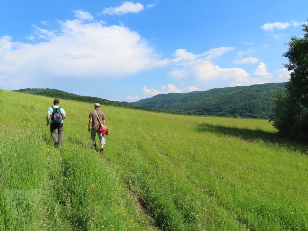
Just below the border zone, we join the green sign (13), which leads us directly to the border - the 107/1 (14). There we turn right to the east (16), turn right at footpost 103/3 (17) and descend from the border zone along the ridge over the altitudes of 660 m and 620 m. Shortly after the turn (about 1 km) we pass to the right of the path an area where there used to be a fallen aircraft from World War II (18). There were still metal fragments left behind. The descent leads down an old forest track to a meadow (19, 20) opposite the railway bridge, which the locals call "white bridge", which remembers the great railway disaster of the First World War (1916), but also the derailment of a freight train just after the Second World War (1946). Cross the meadow to reach the road, where you turn right and continue back into the village to the T-34 tank, where the route through Vydraňský chotárom began. Of course, you can also go the other way.
Source and photo: OOCR Horný Zemplín
Length of route: 14,7 km (okruh)
Trvanie trasy: 5 hod (okruh)
Elevation: 403 m
Difficulty: 🟢 EASY