

The High Tatras with an area of 341 square kilometres are the highest mountains in Slovakia and Poland. Approximately three quarters of the mountain range with its typical alpine character is situated on the Slovak side of the Carpathian Mountains. The mountain range borders on the Podtatranská basin in the south, the Spišská Magura in the north, the Belianske Tatras in the east and the Kôpera valley in the west, which separates the High Tatras from the Western Tatras. The highest peak is Gerlachovský štít (2 654 m above sea level).
The core of the Tatra Mountains was formed in the proto-mountains (Carboniferous, 210 million years ago). At the end of the Protohistoric period, the surrounding sea receded and massive erosion began to occur. In the Triassic, however, the sea rose again and limestone sediments began to be deposited, forming the basis of the Belianske Tatry and the Red Mountains.
At the end of the Cretaceous period, the Tatras became part of the mainland. The most significant influence on the modelling of the Tatra terrain was the Alpine glaciers that flowed during the ice ages, during which the glaciers on the northern sides of the mountains reached up to 14 km.

The unique fauna and flora of the High Tatra nature, the high mountain profile and the glacial relief contributed to the creation of the Tatra National Park (TANAP), which was declared in 1948.
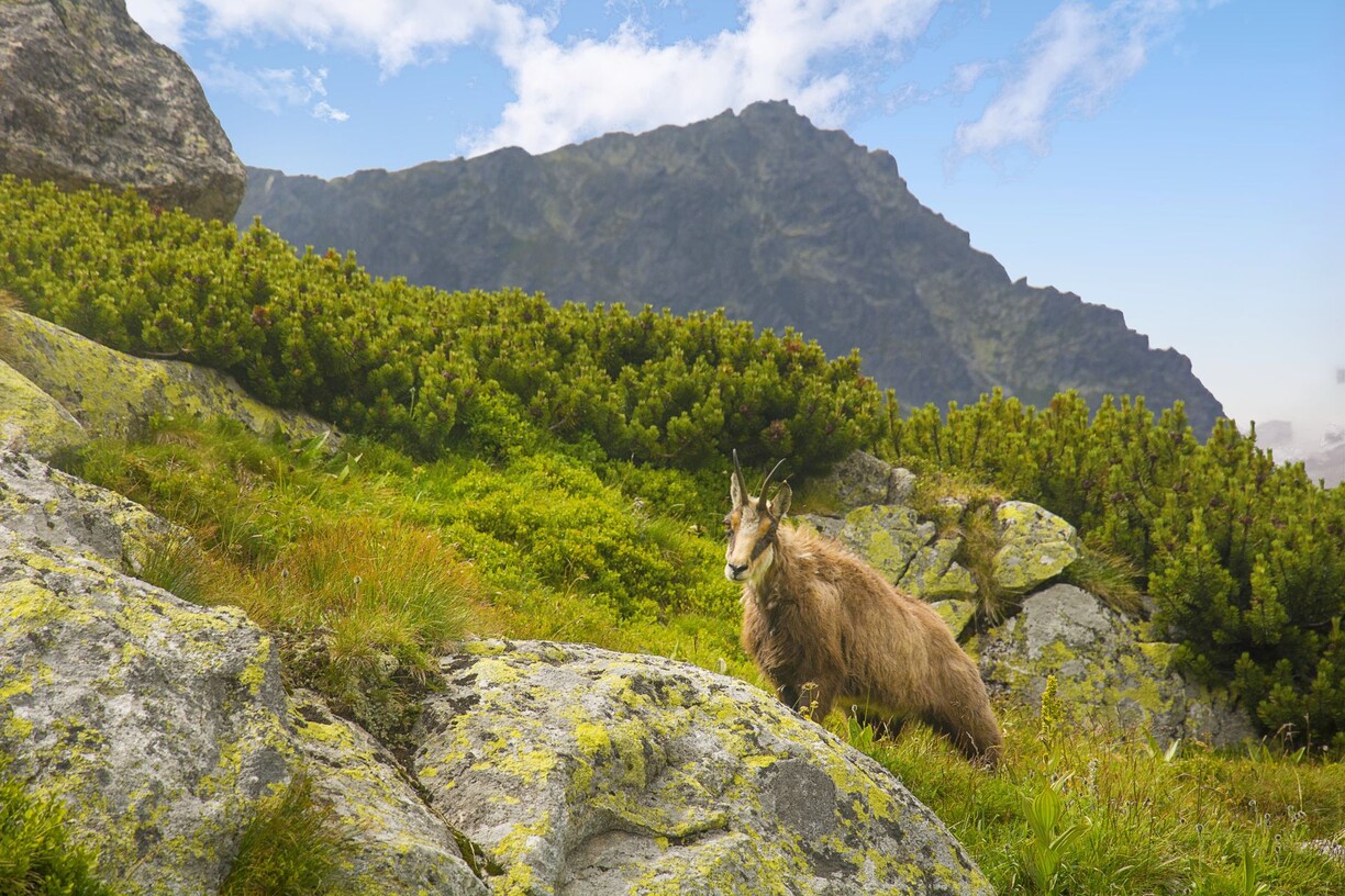
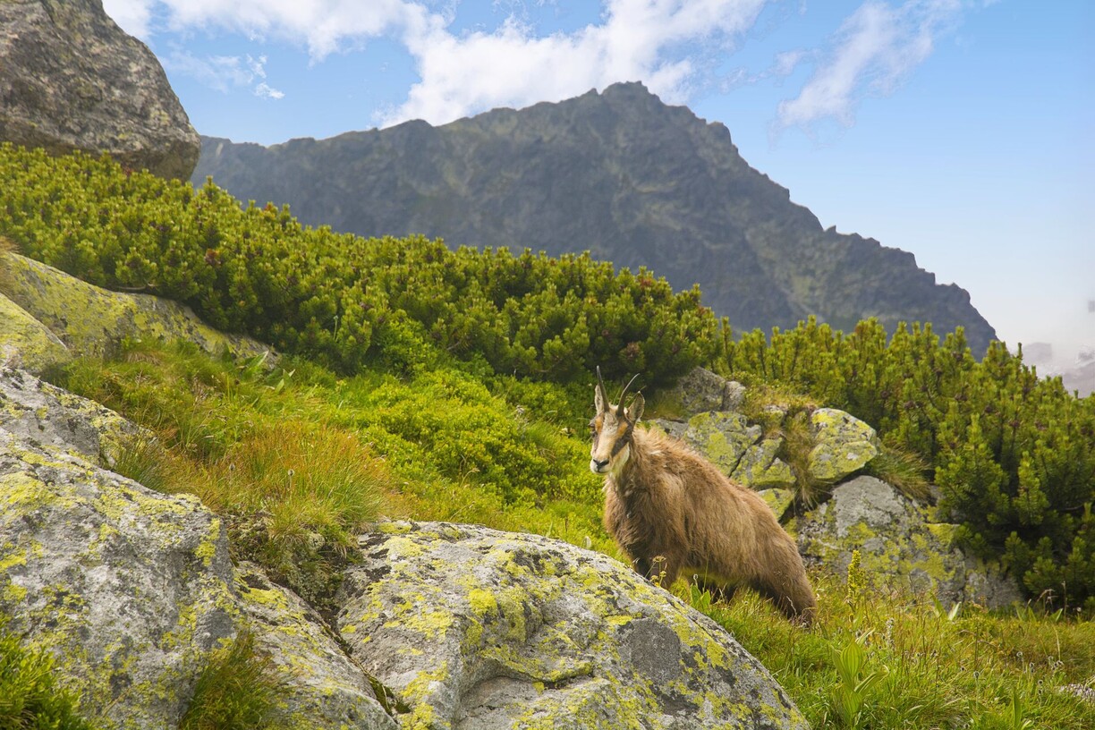
The most famous symbol of the High Tatras, the Tatra chamois, together with other protected animals, has survived in the territory of the core mountains since the Ice Age. In February 1993, TANAP was declared a biosphere reserve in the UNESCO programme.
The Tatra nature boasts more than 35 valleys, 31 peaks over 2,500 metres and 120 plesias. More than 600 km of marked trails allow hikers to climb to high mountain huts, difficult and less difficult peaks or pleasant walks along nature trails.
High Tatras are suitable for every hikerfrom easy walks for families with children to active hiking for the more demanding to physical overcoming for those who want to reach the highest places.
All hiking trails, intended for the movement of visitors in the Tatra National Park, are marked with signs (red, blue, green, yellow).
Tips for trips, events and interesting information can be found at: www.regiontatry.sk
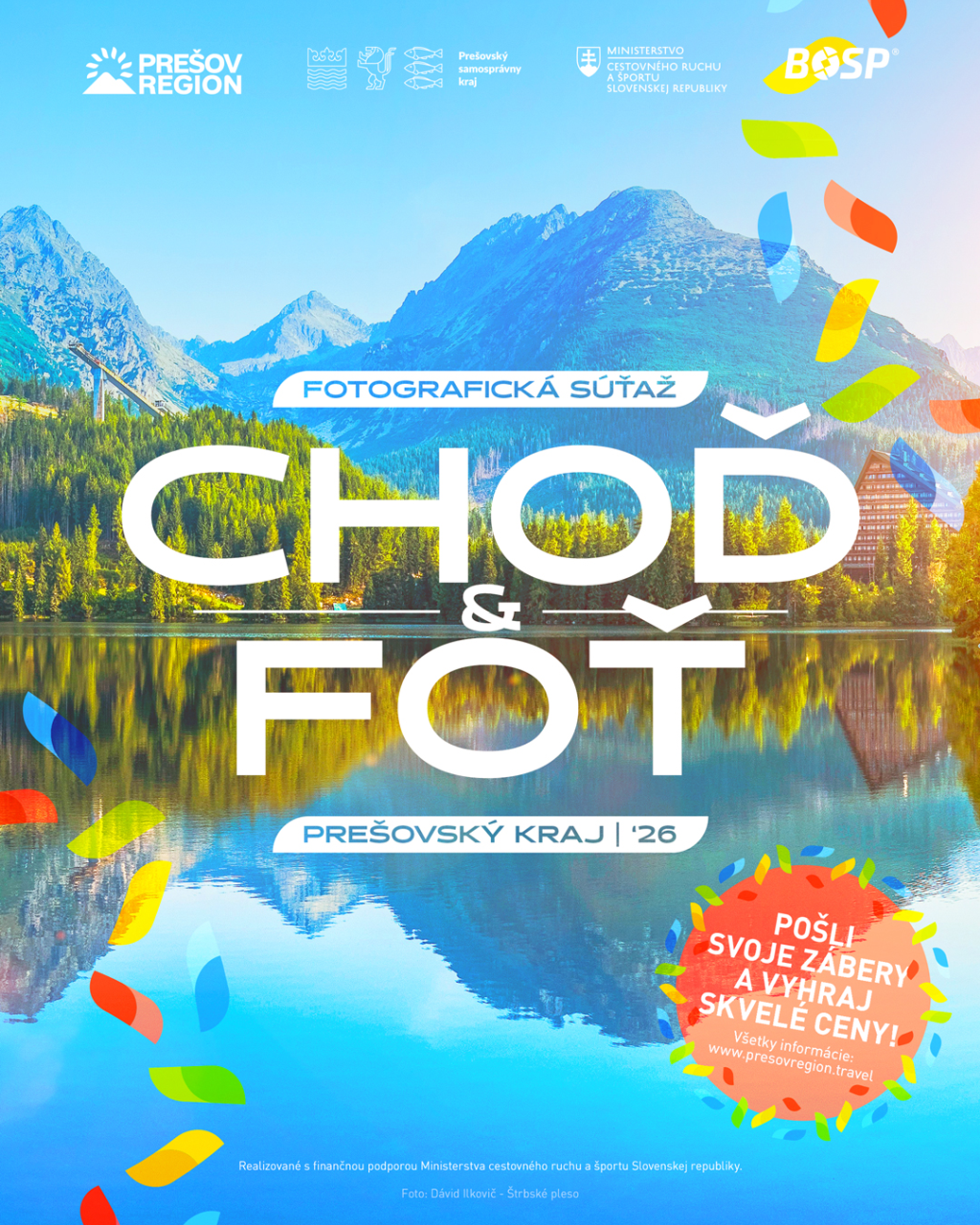
Cover photo: Marek Píš, photo competition Go and shoot 2016