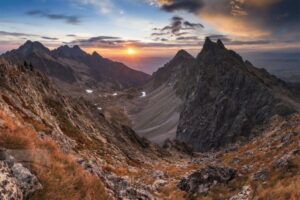
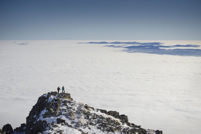
The Slavkovský štít is a popular sightseeing peak with a wide, sprawling summit at the end of the southeastern spur that rises from the Východná Vysoká. In the north it falls into the Veľká Studená dolina (Great Cold Valley) with a number of steep ribs and ravines, while in the south it is a scree field in its entirety.
Chamois hunters have been moving along the slopes of Slavkovský štít for ages. The first known tourist ascent eastern ridge has made in 1664 A 12-member company headed by Juraj Buchholtz Sr., the best contemporary expert on the High Tatras. The hunter who accompanied them had known the route before. From the beginning of the 19th century, it was more common to climb the peak from the Slavkovská valley.
The first hiking trail from Hrebienok was built in 1881 and improved it at the beginning of the 20th century. A stone obelisk with a relief in honour of the tourist worker Maximilian Weisz, who was instrumental in the construction of the road, was erected on the Slavkov Lookout (the monument crumbled during World War II).
Tourist route
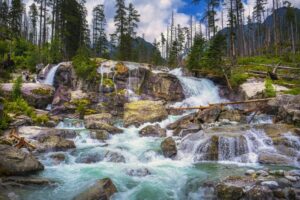
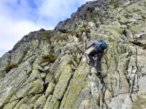
Zo Starého Smokovca sa vydáme na sever po modrej značke. Zanedlho odbočíme doľava a lesnou cestou mierne vystupujeme, prejdeme okolo Piatich prameňov až na rázcestie na Tatranskej Magistrále. Pokračujeme lesným chodníkom a dlhým traverzom vpravo stúpame až po horný koniec lyžiarskej trate. O chvíľku sa ocitneme na Slavkovskej vyhliadke (1550 m n. m.). Z vyhliadky pokračujeme doľava najprv v kosodrevine neskôr v otvorenom teréne, serpentínami hore v južnom úbočí neskôr po hrebeni nazývanom Štrbavý hrebeň, pod Slavkovský nos (2273 m n. m.), predvrchol Slavkovského štítu. Nos obchádzame sprava a ďalšími serpentínami vystúpime na vrchol Slavkovského štítu (2452 m n. m.). Jedná sa o zdĺhavý a náročný výstup s veľkým prevýšením, ktorý trvá viac ako 4 hodiny.
Source : www.vysoketatry.com
Titulná foto: Andrej Pižem, fotosúťaž Choď a foť 2017