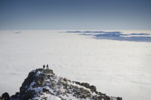
Východná Vysoká (2 428 m above sea level) is a touristically very important lookout peak in the main ridge of the High Tatras. The peak rises above three valleys: the Velicka, Veľká Studená and Bielovodská valleys (above the frozen cauldron of the Svišt'ov valley). From the top of Východná Vysoká there is a beautiful panoramic view of the whole Tatra Mountains. The hike through the Silesian House and the Polish Ridge is a real alpine hiking treat. The route is classified as moderately difficult with quite a lot of elevation gain. Technically challenging is the climb over the chains to the Polish Ridge and the final ascent to the summit through rocky and rocky terrain.

Directly on the main ridge of the High Tatras lies the peak with its pyramid shape, the Východná Vysoká peak. It is located between the Polish Ridge and Priel, reaching a height of 2428.6 m above sea level. It is definitely worth planning a hike to this peak, because it will offer you a beautiful view of the entire Tatra Mountains, the Veľká Studená dolina, Velicka valley and the surrounding peaks.
Tourist route to the Eastern High
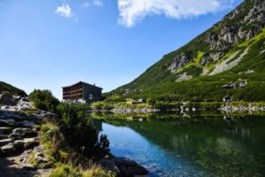
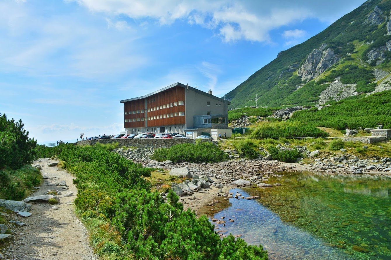
A challenging day hike with exposed sections. From Tatranská Polianka we can reach Sliezsky dom (1 670 m above sea level) in one hour. Then we continue along the eastern shore of Velice lake to the rocks called Eternal Rain, Velecky waterfall to Kvetnice. The next stretch of the road leads through the grassy valley floor and climbs gently around the Round Hill to Dlhý pleso. To the left, Krčmař trough - one of the longest Tatra troughs - stretches above the mountain. The path ascends gently until you reach the Polish Ridge (2 000 m above sea level). The route from Sliezský Dům to the Polish Ridge takes an hour and you should be prepared for chains. From the Polish Ridge we then have a 45-minute hike to the East High (2428 m above sea level).
From here you can enjoy a unique view of the panorama of the High Tatras from the north. In the foreground you can see mainly the Žabia Bielovodská valley bordered by Mlynár (2 169 m above sea level) and the Lower Žabí Peak (2 098 m above sea level), behind it there are Rysy (2 503 m above sea level) and Vysoká (2 547 m above sea level).
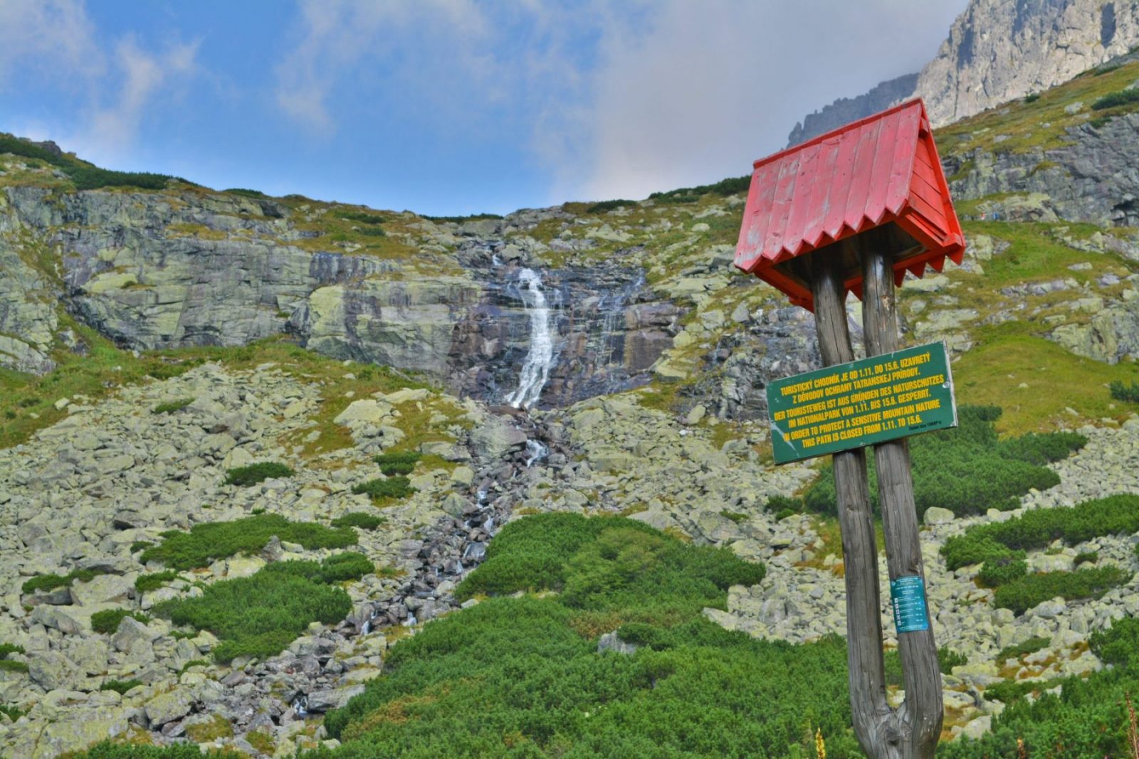
The hiking trail to Východná Vysoká is open during the summer season, in winter there is a winter closure of hiking trails.
Cover photo: Jozef Mačutek, photo competition Go and shoot 2016
For pedestrians:
There is an asphalt road from Tatranská Polianka to Sliezsky dom, which is also accessible by bicycle. In addition to the asphalt road to Sliezsky dom, you can also follow the hiking trail (green marker) The trail continues past Velický pleso, Velický waterfall and passes under the Eternal Rain. Already at these points, we have a wonderful view of the Velicka Valley.
When we overcome the climb around the waterfall, we will reach the first rock step - Kvetnica. From here an unmarked trail turns left to Gerlachovský štít, via Velicka próba.
Gradually we climb around Dlhý pleso and before the saddle of the Polish Ridge we are waiting for the most difficult ascent through belay chains and crampons. From the Polish Ridge we follow the trail and the yellow sign. Again in some sections belayed with chains. The final route mostly follows the ridge of the Eastern High. On the peak of Východná Vysoká there is only a metal plate describing the Tatra peaks in the vicinity.


