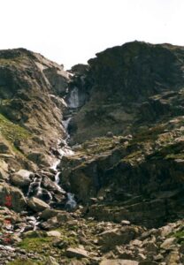


The Tichá dolina National Nature Reserve can boast several first prizes: it is one of the most easterly valleys of the Western Tatras and it is also first due to its 17-kilometre length. The Tichá dolina is surrounded by the Liptovské Tatras and the Liptovské Kopy.
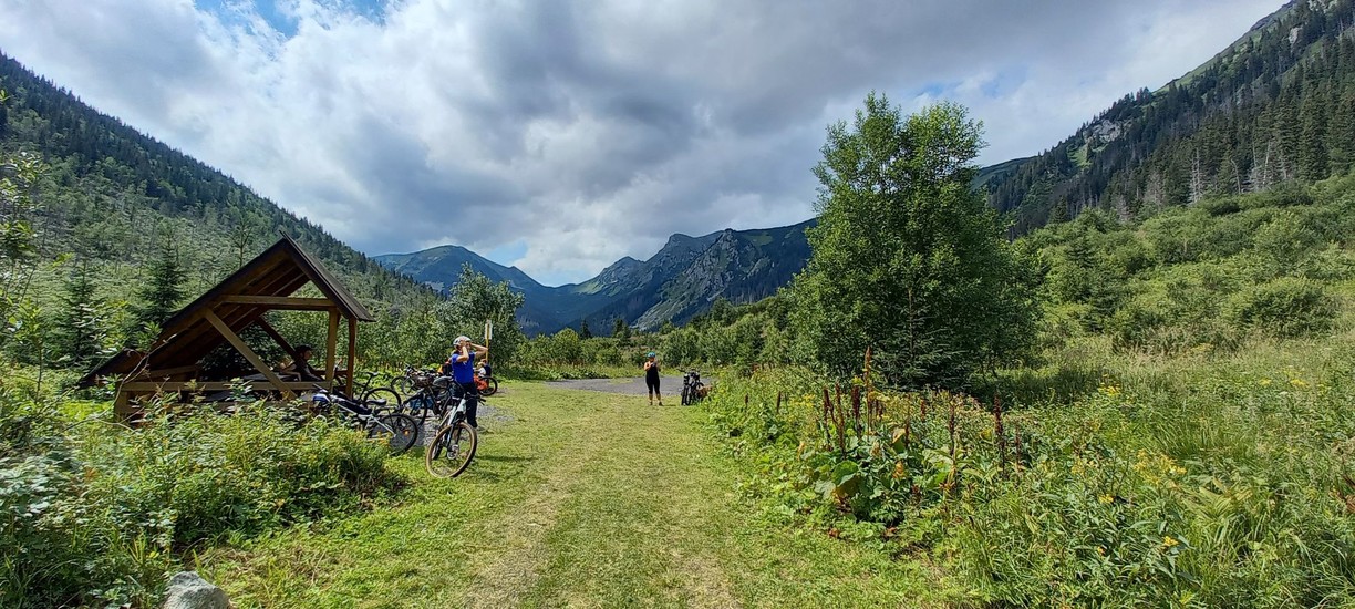
The name of the valley often sounds paradoxical, because the Tichá dolina came into public awareness primarily in connection with the wind calamity in 2004. However, the forests in this area have also been destroyed by avalanches, bark beetles and even fire.
The Tichá dolina itself consists of several side valleys. The most significant is the Tomanovská valley, which is decorated with a waterfall. The end of the Ticha valley offers the Red Mountains spreading out in the Tomanovský saddle to admire. The beauty of the Red Mountains is mainly taken care of by the formations of the high mountain karst, such as the Ice Abyss, the Kresanica Hill or even the highest cave in Slovakia - the Zadný úplaz (Back Upland).
The starting point of the hikes to the Ticha valley is the tourist settlement Podbanské (940 m above sea level), situated on the right bank of the Bela river. A marked forest path leads through the valley. Visitors in the valley will certainly not get lost. From the Ticha valley leads a precisely marked hiking trail that will please even the most demanding hiker. Another sign on the hiking trail takes visitors to Kasprový vrch, Hladký sedlo or Ľaliový sedlo.
Description of the route for cyclists: You can also enjoy the beautiful scenery by bike, just follow the green cycling signs from Podbanské.


Additional information:
- Difficulty: MEDIUM
- Suitable for: road, mountain, gravel bike and cyclo-car
- Surface: asphalt