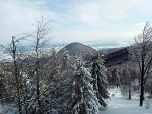


Oblík (925 m above sea level) is a well-known homogeneous volcanic hill in the northeastern part of the Slanské vrchy Mountains near the villages of Hermanovce nad Topľou and Petrovce. The National Nature Reserve with the fifth degree of protection was established here as a scientific research object for the needs of forestry.
Difficulty: MEDIUM
Length: 15.9 km
Time: 1:36 h
Elevation: ⇗ 629 m above sea level ⇘ 400 m above sea level
Beginning: Podhradík 447 m above sea level
The end: Meadow under Oblík 676 m above sea level
Surface: Forest path
Type of bike: Mountain
Photopoint: Meadow under the Oblík
Description of the route for cyclists: The meadow below Oblík is freely accessible. There is a rest area with a fireplace. You can start the cycling trip in the village of Podhradík, from where the blue cycling trail leads through Pusté Pole and around Zlatá studna.
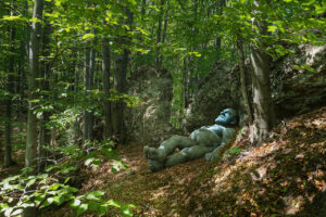
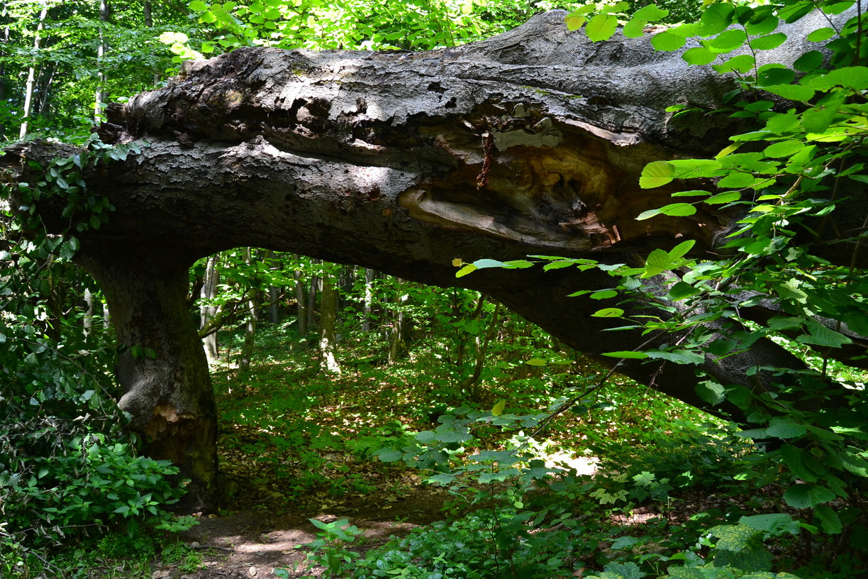
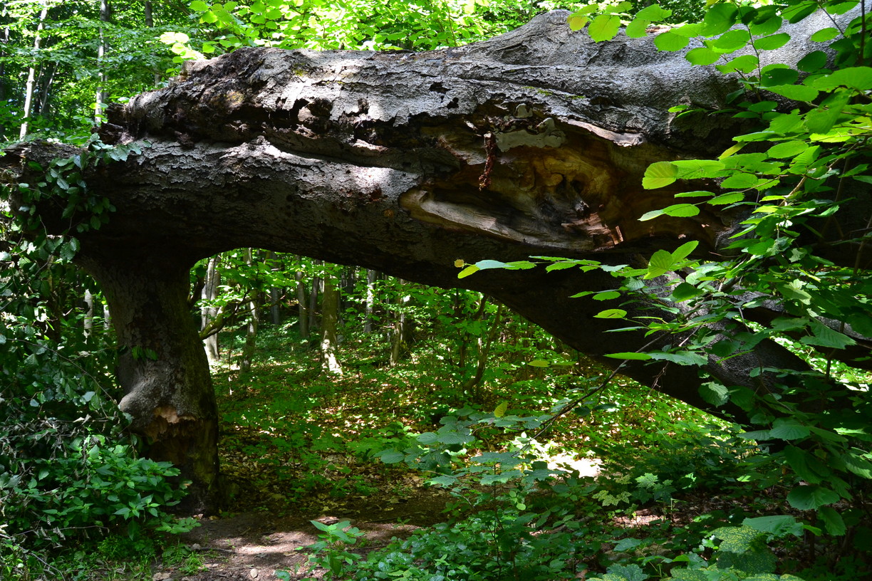
On the slopes of Oblík there are extremely diverse and rare biocenoses. It offers a varied mosaic of forest communities with up to eight groups of forest types. The stands are in places of a forest-like character. They predominate beeches in the alternation of thin trunks and specimens of thick trees, whose age is estimated to be between 170 and 250 years.
The archaeological findings from Oblík also testify to the settlement of this area already in Iron Age. In addition, it is also known as partisan territory from the period of World War II. From February 1944 a partisan detachment of the partisans Chapayev operated here.
In the Oblík National Nature Reserve there is also nature trail.
SEE ALSO:
[trippreview:7215]
[trippreview:3987]
[trippreview:1647]
[trippreview:3795]