


Collect up-to-date and as accurate as possible information on the planning of the main cycle routes in the regions. This is the task of the Prešov Self-Governing Region, which started last year with the update of the data of the Skeleton Network of cycling roads on its territory.
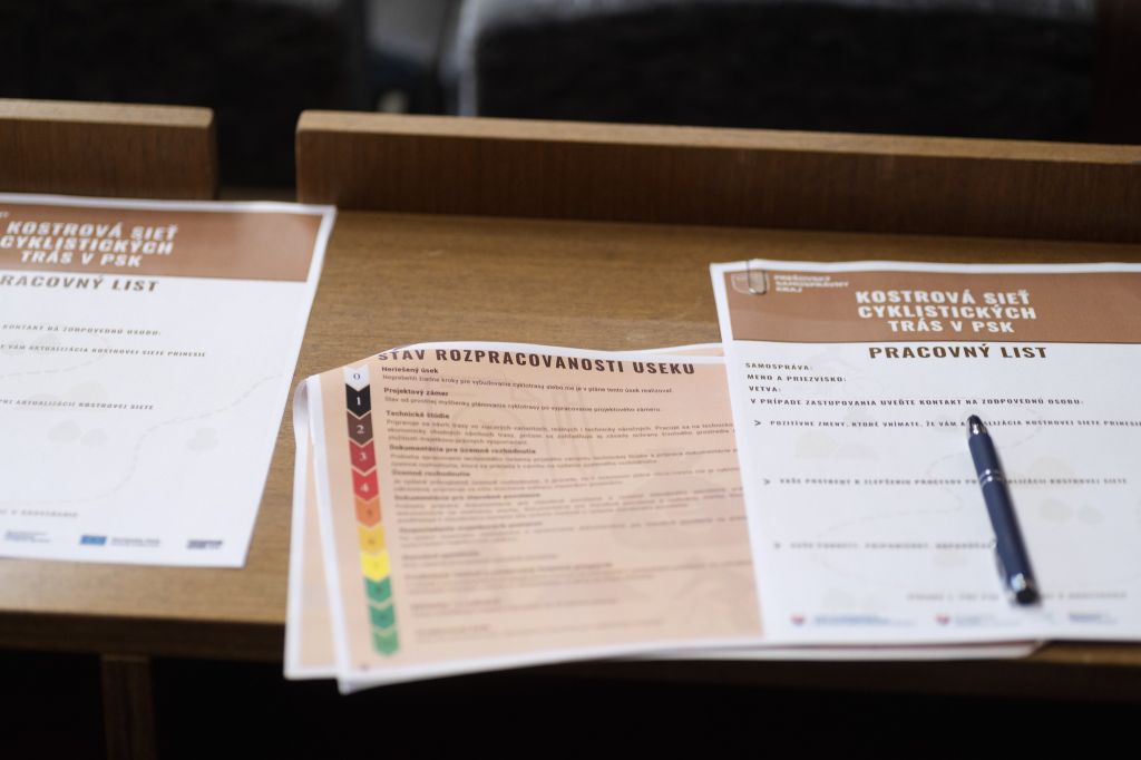
Prešov Self-Governing Region (PSK) is working intensively on updating the Skeleton Network of Cycle Roads. Last year, together with the Road Administration and Maintenance, PSK organised two rounds of meetings (16 meetings in total) with representatives of towns and municipalities in the regions. Together they worked on the most accurate drawing of the Skeleton Network.
In addition, they spoke of systematic and effective cooperation in the field of cycling and cycling tourism. Representatives of the region presented the skeleton network, classification of the work in progress of individual sections, the form of surveillance and also the updating of data of specific sections.
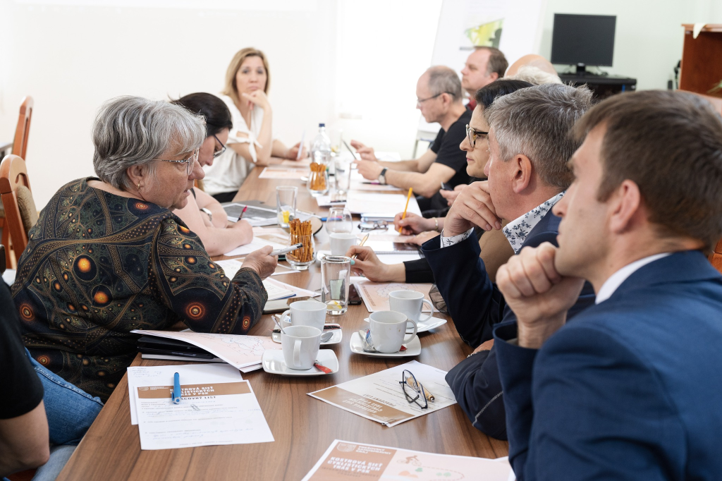
The update of the skeleton network concerns the cadastres of more than 200 municipalities, and most of the invited representatives of municipalities attended the meetings. The Region has the ambition to continue the communication with the municipalities and to complete the data where it was missing so far. This is because the update of the Skeleton Network is intended to serve as a spatial planning basis for amendments and supplements to the Prešov Region Spatial Plan. After the modification of the spatial plan, the process of more efficient planning and implementation of the network of cycling roads can start in several regions.
Skeleton network of cycling routes in the Prešov Region is a concept of the main network of cycling routes in the Prešov Region. It is a document that was developed at the end of 2018 and includes ten main cycling branches in the original scope of 840 km. In addition to Eurovel 11, it is the branch P1 Vysoké Tatry, P2 Tatry - Pieniny, P3 Levočská, P4 Čergovská, P5 Vranovská, P6 Šarišská, P7 Dukla - Domaša, P8 Bukovská and P9 Zemplín - Poloniny.
These ten main cycle branches are intended to provide Link the most important tourist destinations on the territory of the region with connections to tourist destinations of neighbouring Counties (Košice and Žilina regions) and States (Ukraine, Poland and Hungary). It should also take into account the connection to local cycling routes and connecting sections of transport services to settlements.
The basic axis of the network in the Prešov Region should be an international long-distance cycle route Eurovelo 11which will pass through the county for more than 140 km. The Prešov Self-Governing Region is working on its construction in cooperation with the Administration and Maintenance of Roads of the PSK Region. For the Koster network, the Region will offer technical and financial assistance to municipalities and towns through its subsidy appeals. The current elaborated form of the Skeleton Network of cycling routes in the Prešov Self-Governing Region is available on the Region's geoportal.
Author: Department of Communication, Lea Lehotská