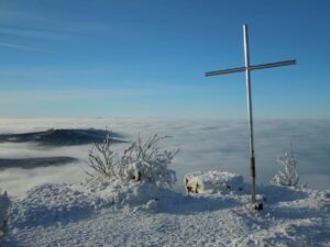


Vihorlat (1 076 m above sea level) is the highest peak of the Vihorlat Hills. The name was probably given by the local inhabitants and is probably derived from the word vyhorľať, which means burnt out.
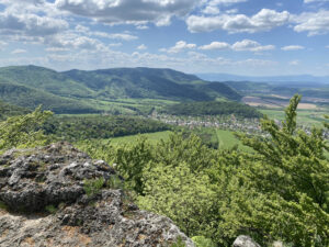
In case of suitable weather conditions it is possible to observe even distant peaks Low and High Tatras in the west or the Gutinian Mountains in the north-west of Romania. Vihorlat lies on the territory of the military district of Valaškovce. Public access to these places is possible without the need for a permit, but there are a few restrictions (https://mosr.sk/harmonogram-vojenskych-cviceni-na-uzemi-vojenskych-obvodov/).
Vihorlat is beautiful volcanic mountainswhose geographical location and specific geological development have is responsible, among others, for the creation of the Morské oko lake, the Snina Stone or the unique upland peat bogs. It is the easternmost extinct volcano in Slovakia. When viewed from a distance, it can be very well recognized by its truncated summit.
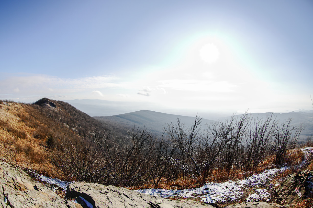
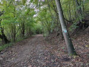
There are several routes to Vihorlat. The ascent is very demanding, especially in winter conditions. Twe recommend to go snowshoeing. From Zemplinské Hámry you can reach the hill by the yellow and red hiking trails.
Warm up with experiences on the way to Vihorlat
Difficulty: HARD/EXTREME
Start of the route: Zemplínske Hámre - Kameňolom (428 m above sea level)
End of route: Vihorlat (1071 m above sea level)
Time: 4:30 h
Distance: 10.7 km
Climb: 865 m
Dropping: ↘ 228 m
Highest point: 428 m above sea level.
Lowest point: 1071 m above sea level.
Do you know what connects Vihorlat with the Valaškov Bridge in Humenné, which is a relative of the Eiffel Tower?
Vihorlat is located on the territory of the military district Valaškovce. Originally, however, it was a village from which the people were evicted in 1937 because of the construction of this VO. Part of the inhabitants were relocated to Humenne, specifically to the part called Za vodou, which is still called Valaškovce by the local inhabitants. This locality was once connected to the rest of the town only by the Valaškovský Bridge, which has a history of over 100 years.

Source:OOCR Horný Zemplín