

Cycle route Mníšek nad Popradom - Legnava is part of a cycling route EuroVelo 11. The route is created within the project New tourist product - part of the trans-European cycling route EuroVelo 11 Prešov - Muszyna - Mníšek nad Popradom. Muszyna - Zapopradzie - state border - Legnava (footbridge) Milik - Andrzejówka (footbridge) Malý Lipník - Sulín - Zavodie - Medzibrodie - Medzibrodie - Mníšek nad Popradom and connects to the section of the EV 11 cycle route in the direction of Nový Sacz.
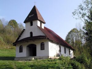
The village of Mníšek nad Popradom is situated in the northern part of the Ľubovnianska Highlands, in the valley of the border river Poprad forming the border with Poland, in the district of Stará Ľubovňa. Legnava is a village in Slovakia, located in the district of Stará Ľubovňa. Historically, it was called Lehňava. It is situated in the northern part of the Ľubovnianska Highlands, in the valley of the Poprad River near the border with Poland. You can visit these two villages as part of a cycling tour on the route Mníšek nad Popradom - Legnava.
For cyclists
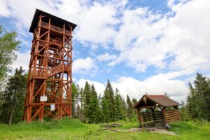
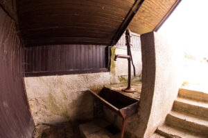
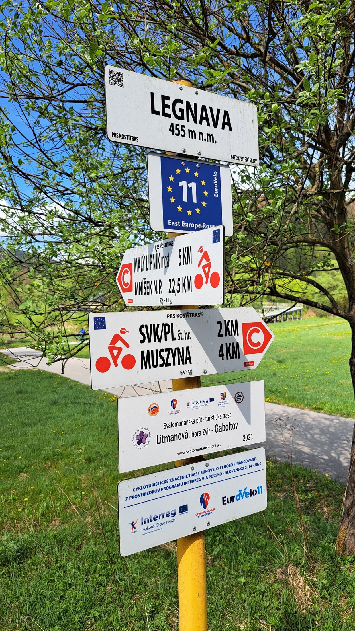
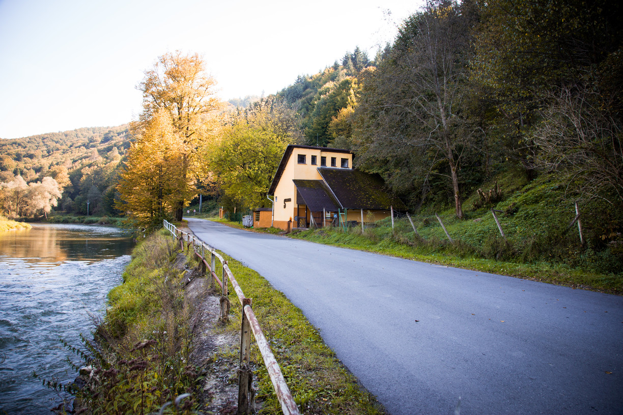
The route Mníšek nad Popradom - Legnava, we start at the signpost, which forms the state border between Poland and Slovakia at an altitude of 413 meters above sea level. We will start our journey along the blue cycle path, towards the Polish village of Muszyna. However, a red cycling sign will also lead us to our destination. The whole route runs along the banks of the Poprad River. On the way you can refresh yourself at the mineral spring Sulin, near which you will find a tourist shelter. After about 12 kilometres we start to climb to the highest point of this route, which is at 483 m above sea level, followed by a descent of about 1 kilometre and then a gentle climb to the final point of the route, the village of Legnava, at 455 m above sea level. The length of the route is 21.6 km and you should complete it in about one and a half hours.


Additional information:
- Difficulty: EASY
- Surface: cycle path
- Type of bike: Road, mountain, gravel, cyclocross
- Fotopoint: Sulínka mineral spring
Year-round