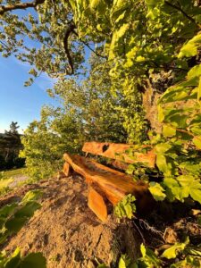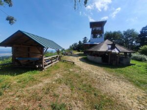


Cergov Hill is undoubtedly one of the most famous peaks, after which the whole mountain range was named. It is located in the eastern part of the main ridge. There is a geodetic point on the summit, a plaque and a well-known self-growth with a plaque marking the summit. Today, views are limited to the southeast to southwest of Stráž, Kapušian Castle, Prešov, Lysá and its side ridge.

The climate of Cerkhov belongs to the cold regions. The average daily temperatures in the winter months are -3 to -6°C, the number of winter days ranges from 120 to 160. There are 10 to 30 summer days with temperatures of 14-16°C per year.
More than 80% of the area is covered by mixed forests with a predominance of deciduous trees: beeches, maples, oaks, oaks and birches. Coniferous trees are mostly spruces. The local fauna is represented by diverse bird species.
Route 1:
Start of the route: Fričkovce (435 m above sea level)
End of route: Čergov Hill (1050 m above sea level)
Time: 2:42 h
Distance: 6,6 km
Climb: 615 m
Dropping: ↘ 10 m
Highest point: 1050 m above sea level.
Lowest point: 435 m above sea level.
Route 2:
Start of the route: Hertník (460 m above sea level)
End of route: Čergov Hill (1050 m above sea level)
Time: 2:53 h
Distance: 7,3 km
Climb: 715 m
Dropping: ↘ 125 m
Highest point: 1050 m above sea level.
Lowest point: 460 m above sea level.