Montenegro: the highest peak of the Levoča Mountains
Čierna hora (1 289.4 m above sea level) is the highest peak of the Levoča Mountains, located in the central part of this mountain range. This peak is located in the Stará Ľubovňa district, on the territory of the former military district of Javorina, approximately 6 km east of the village of Ihľany, 10 km south-east of Podolínec in the district of Kežmarok and about 12 km south of Stará Ľubovňa.
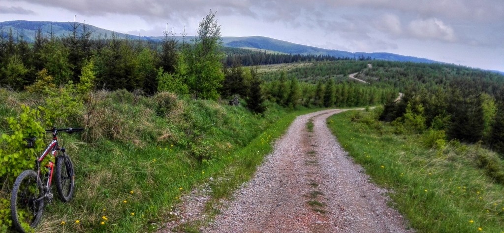
The Levoca Hills are neither high nor very dangerous, but they are an ideal place for those who are looking for undiscovered places, wilderness and silence. The vast territory without significant civilization was once a military area and has virtually no infrastructure. The area is a paradise for MTB cyclists thanks to the abundance of trails, including old, partially crumbled military roads with remnants of asphalt that few people know anymore.

Černa hora is situated on the cadastral territory of the municipalities of Jakubany and Lomnička. It is located in the southern part of the massive mountain back, which in the shape of the letter "U" stretches from Mackova (985 m above sea level), through Ihla (1 282 m above sea level), Čierna hora to Javorinka (1 166 m above sea level). To the west lies Ihla, to the northeast Banisko (1 143 m) and to the east Šípková hora (1 149 m).
The northern slopes of the massif are drained by tributaries of the Kolačkovský Brook, while the eastern and southern slopes drain into tributaries of the Jakubianka River. The top of Černá hora is largely deforested, which provides breathtaking views of the surrounding countryside, including the Tatra Mountains. The locals say that the most beautiful view of the Tatras is from Čierna hora.

Hiking and access - there is no official marked trail to the top of Montenegro, which is due to the area's history as a military district. The area is criss-crossed with unmarked paths. The easiest ascent is possible from the villages of Ihľany, Kolačkov and Nižné Ružbachy.
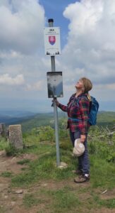
Photo source: Jozef Tereščák
Details of route 1:
- Start of the route:Ihľany
- End of route: Black Mountain
- Time:hiking 4:00 hrs, bicycle 1:11 hrs
- Distance:10km
- Climb:624 m
- Dropping:↘ 61m
- Highest point: 1285 m above sea level.
- Lowest point: 713 m above sea level.
Zdroj: https://www.strava.com/routes/3231393333969708402
Route 2 details:
- Start of the route: Lomnička
- End of route: Black Mountain
- Time:hiking 4:45 hrs, bicycle 1:27 hrs
- Distance:1km
- Climb:783 m
- Dropping:↘ 132 m
- Highest point:1285 m above sea level.
- Lowest point:622m above sea level.
Zdroj: https://www.strava.com/routes/3231386843308342606
Route 3 details:
- Start of the route: Nizne Ruzbachy
- End of route: Black Mountain
- Time:hiking 4:40 hrs, bicycle 2:00 hrs
- Distance:18.42km
- Climb:992 m
- Dropping:↘ 275m
- Highest point: 1285 m above sea level.
- Lowest point: 553 m above sea level.
Zdroj: https://www.strava.com/routes/3231388939588455758
Year-round


