Mlynická valley is a 6 km long terraced valley of glacial origin. This valley starts at Štrbské Pleso and continues to the north-west. It is bounded by the Solisko Ridge to the west, the Štrbský Peak to the north and the Bášt Ridge to the east.
Mlynicka valley was known long before the settlement was founded by hunters, herbalists, miners and shepherds who established salt pans for their herds. The valley takes its name from the Mlynica stream, which once powered water mills. It is rich in natural beauties.
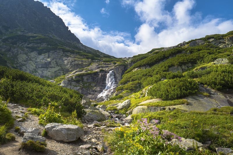
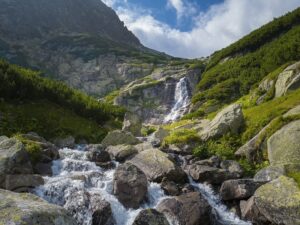
A stream runs through it The Millwhich creates an impressive waterfall called the Jump on one of its rock terraces. In the valley there are also several spits. The Mlynická valley is a national nature reserve because of its unique relief forms. The valley is accessible to the general public thanks to marked hiking trails.
Štrbské pleso (1 346 m above sea level)
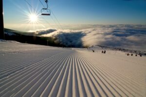
The most famous and most visited lake on the Slovak side of the Tatras, which is situated at the mouth of the Furkotská and Mlynická valleys. Štrbské pleso is the 5th largest in the Tatras and the 2nd largest on the Slovak side. The lake, which was formed at lower altitudes as a result of the retreating glacier. In the village of Štrbské Pleso there is a sports complex with opportunities for skiers and cross-country skiers.
Waterfall Skok (1 789 m above sea level)
A mighty waterfall in the middle of the Mlynicka valley. It is visible from Štrbské pleso. A hiking trail leads along the waterfall. Above the waterfall there is the Pleso nad Skokom.
Dancing in the Mlynicka valley
In the upper valley positions along the hiking trail there are several high mountain spits: the Lower and Higher Goat Plesos, Capie Pleso (2 075 m above sea level) and the highest situated Round Pleso above which rises the Štrbský Peak (2 381 m above sea level).
Starting point for hikes: from Štrbské Pleso - yellow sign
Source: kamnahory.sk, vypadni.sk, tatry.sk
Source of cover photo: - Own work


