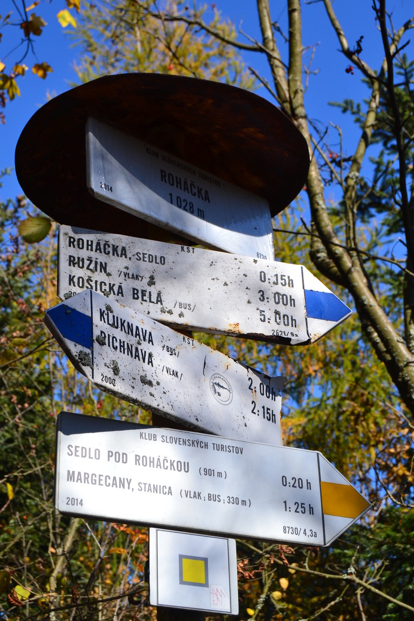
Roháčka Peak (1 028.5 m asl.) is the highest peak of the Black Mountain. It lies on the border of the Prešov and Košice regions, on the border of the districts of Prešov and Gelnica, in the cadastre of the municipalities of Klenov and Margecany. The hill rises between the villages of Margecany (south), Klenov (east), Hrabkov (north) and Kluknava (west), in the Hornád river basin.
The hill is also known as Talafous hillnamed after Jan Talafús of Ostrov, who was one of the leading captains of the Bohemian Brethren. According to legend, he liked to relax here during hunting trips with his companions. Talafús left after the Hussite wars in 1440 for the territory of Upper Hungary. From 1442 he was captain of the nearby Richnavský Castle.
It is one of those mountains that may not give you views, but it will make your head spin with incredibly beautiful hiking in its dense forests full of the most amazing sounds of nature.

The top of Roháček is visited by tourists quite often. At the top, which is, like the slopes, covered with beech-oak and raspberry forest, there is a signpost with a metal box containing the summit book.

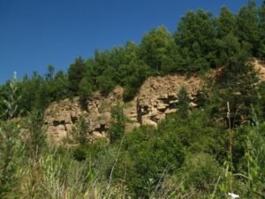
The north-western slopes of Roháček are a bit more attractive, also thanks to the belt of rock cliffs, rocks or massive piles of large scattered rocks and boulders. Together they form a dominant rock massif called Scattered rock (1 000 m above sea level). The length of the rock massif is about 150 metres and the height from 10-30 metres.
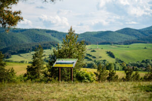
Unlike the top of Roháčky, from Rozsypaná skala you can see beautiful views into the wide surroundings. The top of Rozsypaná skala is also decorated with a wooden statue and a cross.

Access to the Roháčka hill is from the mentioned villages along marked trails. The closest is from Margeciany along the yellow trail or along the blue trail from Klenov, Kluknava, from where the route is approximately 4 km long.

Start of the route: Klenov (608 m above sea level)
End of the route: Roháčka (1 028 m above sea level)
Time: 1:53 h
Distance: 3,6 km
Climb: 433 m
Descent: ↘ 19 m
Highest point: 576 m above sea level.
Lowest point: 1 028 m above sea level.
Source: kamnavylet.sk, keturist.sk
Cover photo: Martina Hanzelová Kušnírová


